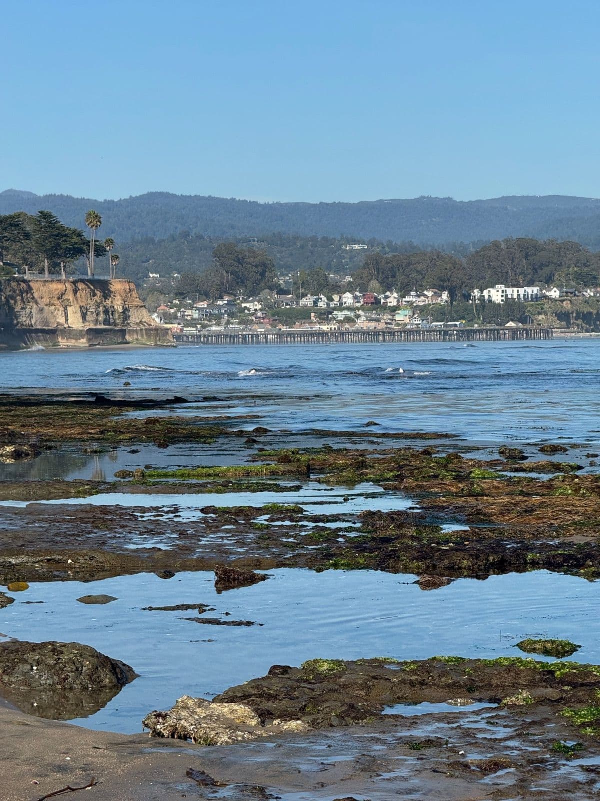
Santa Cruz Surf Report & Live Tide Conditions
We built this because checking tides should feel simple, useful, and maybe even a little enjoyable.
This live tracker brings together real-time coastal conditions to help you plan surf sessions, tide pool visits, beach walks, and everyday moments along the Monterey Bay.

How It Works
We built this tracker because no single source gave us the experience we wanted for planning time along the coast.
To create a clearer picture of Santa Cruz conditions, we combine publicly available coastal and weather data from multiple sources—including NOAA tide observations and offshore swell conditions—and present it in one place designed to be faster to read and easier to use.
For transparency:
• Tide timing and water level data are sourced from NOAA coastal monitoring stations
• Swell and marine conditions are combined with offshore observations to better reflect local conditions
• Conditions update regularly throughout the day to help provide a more current view of what’s happening along the bay
Data sources include NOAA Station 9413450 (Monterey) and NOAA Station 9413745 (Santa Cruz), along with offshore marine observations.
Built Around Real Use.
This page started as a simple idea: make tide information easier and more enjoyable to check. That same thinking carries into our client work—we build websites and custom solutions that respect people’s time and help them do what they came to do.